
Long Beach ZIP Code Directory Map
The City of Long Beach GIS Map Catalog publishes a municipal ZIP map alongside city and neighborhood maps. USPS supplies the address-level check. The coverage table below uses the researched local ZIP descriptions and labels ordinary delivery codes separately from PO-box and institutional codes. Neighborhood names are orientation clues, not hard boundary lines.
| ZIP Code | Areas Covered | Post Office or Function | Notes |
|---|---|---|---|
| 90802 | Downtown, waterfront, East Village, Alamitos Beach shore area | Downtown Long Beach service area | Dense multiunit and business mix |
| 90803 | Belmont Shore, Naples, Belmont Heights, Marina, Peninsula | East and southeast coastal stations | Seal Beach edge needs address check |
| 90804 | Eastside, Zaferia, Traffic Circle area | East Long Beach delivery | Overlaps nearby neighborhood labels |
| 90805 | North Long Beach | North Long Beach stations | Edges meet several neighboring jurisdictions |
| 90806 | Wrigley and central corridors | Central and north-central delivery | Institutional addresses occur in the mix |
| 90807 | Bixby Knolls, California Heights, Los Cerritos | Bixby Knolls and north Long Beach service | Signal Hill confusion is possible |
| 90808 | East Long Beach, El Dorado, Plaza, Lakewood Village | East Long Beach delivery | Lakewood Village is within Long Beach |
| 90810 | West Long Beach and west-side corridors | West Long Beach delivery | Check city jurisdiction separately |
| 90813 | Cambodia Town, Washington, Midtown and central areas | Central Long Beach delivery | Old street names can aid history work |
| 90814 | Bluff Heights and Carroll Park | East and southeast delivery | Small geography; names do not map one-to-one |
| 90815 | Los Altos, Park Estates, CSULB-adjacent areas | East Long Beach delivery | Compare nearby 90808 and 90803 streets |
| 90822 | VA Long Beach Healthcare System | Institutional ZIP | Not a general neighborhood slice |
| 90831 | PO boxes | Long Beach postal boxes | Non-geographic mailing code |
| 90832 | PO boxes | Long Beach postal boxes | Non-geographic mailing code |
| 90833 | PO boxes | Long Beach postal boxes | Non-geographic mailing code |
| 90840 | California State University, Long Beach | CSULB institutional ZIP | Campus mail, not nearby resident geography |
Specialty codes such as 90842, 90844, 90846, 90847, 90848, 90853, 90895, and 90899 need current USPS confirmation before publication as active unique or organizational codes. They should not be presented as neighborhood ZIPs without that check.
The Long Beach GIS map catalog is the municipal source for comparing ZIP polygons with city and neighborhood geography.
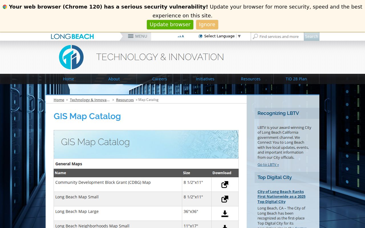
The map helps orient a search, but the parcel’s city and assessor situs remain the stronger jurisdiction facts.
Long Beach ZIP Codes 90802 to 90815
Most everyday Long Beach postal work uses 90802 through 90815, with gaps in the numeric sequence and different neighborhood patterns. Downtown and the waterfront sit in 90802. Belmont Shore, Naples, and the southeast coast use 90803. North Long Beach is centered in 90805, while Bixby Knolls and California Heights are associated with 90807. East Long Beach can fall in 90804, 90808, or 90815 depending on the street.
A ZIP code directory should not treat a neighborhood label as a legal boundary. Lakewood Village is a Long Beach neighborhood despite its name. Nearby Lakewood addresses may feel continuous on a map while belonging to another city. Signal Hill is a separate incorporated city enclosed by Long Beach, so the visual urban pattern can obscure the city custodian.
Use the ZIP as a first grouping, then verify each address. A street range, parcel AIN, city GIS layer, or official USPS result can resolve an edge case that a neighborhood name cannot.
Long Beach Institutional ZIP Codes
90840 belongs to California State University, Long Beach, and 90822 is associated with the VA Long Beach Healthcare System at 5901 East 7th Street. These are unique or institutional ZIPs. They can identify a campus or complex mail route, but they should not be counted like a broad neighborhood ZIP in a residents directory.
PO-box ZIPs 90831, 90832, and 90833 are also different. A PO box is a mailing destination, not a parcel situs. It cannot show where a person lives or which neighbors surround a building. Keep the ZIP field labeled as a mailing code when no physical address is present.
- Delivery ZIP
- A USPS routing code used to direct mail to an address or area.
- Unique ZIP
- A code assigned to a single institution or major organization rather than a general neighborhood.
- PO-box ZIP
- A code serving postal boxes; it does not map each box to a physical residence.
- ZIP+4
- A nine-digit delivery extension that narrows routing beyond the five-digit ZIP; it is not a public people list.
Checking a Long Beach ZIP at USPS
The USPS ZIP Code Lookup is the address-level authority for a delivery result. Enter the street address, city, and state, then compare the returned ZIP and ZIP+4 with the source record. Unit details matter. A city name in the last line describes delivery convention and does not settle the corporate city boundary.
| Address | Street number, street name, and unit where relevant. |
|---|---|
| City and state | Last-line information used to resolve the mailing address. |
| ZIP search mode | USPS also offers a mode for ZIP or city associations. |
| Submit | Runs the address check and returns standardized delivery information. |
USPS is not the source for a Long Beach resident lookup. It verifies delivery geography. For people or parcels, move from the returned physical address to the appropriate city, county, library, court, or state custodian.
Use the USPS address lookup before grouping Long Beach records by ZIP code.
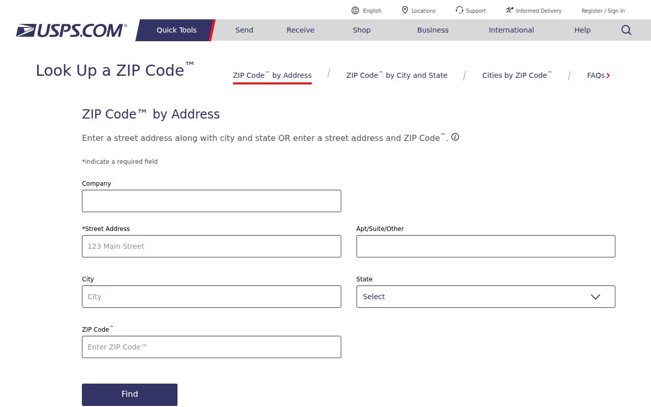
Keep the returned standardized address with its retrieval date, especially when a street record uses an older form.
Finding Long Beach Residents by ZIP Code
A ZIP code directory can narrow a question, but official portals rarely return a ZIP-wide people list. The LA County Assessor Portal may accept a ZIP as part of a full address, yet no separate ZIP filter is documented on its landing form. The GIS viewer supports spatial browsing, not a documented ZIP-wide resident export. My Voter Status checks one authenticated person. The authorized county voter file is ordered by city, precinct, or district rather than an advertised ZIP roster.
- Verify the street address and ZIP with USPS, including the unit when one exists.
- Confirm the municipal jurisdiction with the City map and parcel situs, especially near Signal Hill, Lakewood, Seal Beach, or other edges.
- Search the Assessor by the full address or AIN and keep the parcel result separate from the ZIP field.
- Use a lawful voter, court, license, directory, or permit channel only when it answers the question.
- Once the ZIP narrows the area, move to the Long Beach by-address workflow for street-level parcel and record work.
| Portal | ZIP input | What the result means |
|---|---|---|
| USPS ZIP Lookup | Address, city, state, or ZIP mode | Mailing result for an entered address |
| City ZIP Map | Visual map | Municipal ZIP geography, no people list |
| LA County Assessor | May be part of full address | One matched address or AIN parcel |
| Assessor GIS | Spatial layers, no documented ZIP filter | Mapped parcels around a chosen area |
| Authorized voter file | City, precinct, or district order | Restricted-purpose file, not ordinary ZIP browsing |
Long Beach ZIP and City Lines
USPS assigns a preferred last line for delivery. Long Beach’s corporate limit is a municipal fact established by city maps and parcel jurisdiction. A “Long Beach, CA” mailing line can appear near or beyond the city’s actual boundary. Compare the ZIP, city, parcel situs, and record custodian before describing a result as a Long Beach resident.
The north and west edges approach Compton, Paramount, Carson, and county areas. The east and southeast edges approach Lakewood, Hawaiian Gardens, Seal Beach, and Orange County geography. Signal Hill is enclosed by Long Beach but is separately incorporated. These are not minor map details. City permits, local vital registration, council records, and neighborhood services follow jurisdiction, while county property, deed, and court routes cover the wider county.
Three geographies. A ZIP answers a delivery question, a city boundary answers a government question, and an assessor situs answers a parcel question. Keep all three fields.
Grouping Long Beach Parcels by ZIP
For a parcel study, keep the mailing ZIP and situs city in different columns from the AIN, legal description, tract, and lot. One building address can contain multiple parcels or units. A PO box can share a ZIP with a physical delivery area without identifying a parcel. A business or institution can generate many records under a code that is not a household geography.
The City ZIP map can orient the visual area. The Assessor Portal supplies individual AIN and address facts. The Assessor Map shows adjacent parcels. Building permits add a city address trail. The voter tool remains personal or restricted. A ZIP directory becomes reliable only when the result names which layer was used.
Address history also matters. Search former street names such as American Avenue and Long Beach Boulevard or California Avenue and Martin Luther King Jr. Avenue when a historical source predates the change. The legal description and parcel map can bridge a changed street label better than a modern ZIP string.
Limits of a Long Beach ZIP Code Directory
A ZIP code directory is a delivery map, not a resident roll. It can group addresses for a search plan, select a USPS route, or point toward a city map. It cannot prove that a person lives at a physical address, that a business agent is a household member, or that every parcel in a ZIP belongs to Long Beach.
Commercial neighbor tools may merge parcel, deed, and other feeds, but their compiled result does not change the official relationship shown by the custodian. Use the assessor for parcel facts, the city for municipal records, USPS for mail routing, the county for deeds and elections, and the library for historical directories.
Note: the most useful ZIP code directory entry preserves the exact address, city, ZIP, parcel key, source, and date rather than collapsing them into one label.