
Looking Up Long Beach Neighbors
A block lookup is a defined piece of geography with several record layers. The Assessor GIS viewer shows parcels. Individual assessor cards show site, use, building, and value facts. A city permit can show work at an address. A historical directory can show a listed adult in a prior year. An authorized voter file has statutory limits. The City’s neighborhood directory connects people to public groups, not private household rosters.
| Source | What It Shows About a Block | Access |
|---|---|---|
| LA County Assessor GIS | Parcel shapes, adjacency, AINs, street and aerial context | Free guest viewer |
| Assessor parcel cards | Situs, use, units, year built, legal description, values | Free address or AIN search |
| Long Beach permits | Construction, additions, work type, status, contacts where public | Portal, Permit Center, or request |
| Polk street sections | Listed historical adults in house-number order | Digital scans and library access |
| Authorized voter file | Lawful geographic registration information | Restricted county request |
| Neighborhood Groups Directory | Group name, membership count, web or email, meetings | City directory; no private roster |
Owners, mailing recipients, permit applicants, and occupants are different categories. A map neighbor is a parcel neighbor. A directory neighbor is a listed person in a dated publication. A civic neighbor is someone connected through a public group. State the category before using the word neighbors.
The Long Beach neighborhood-services entry point gives the civic layer for a block lookup.
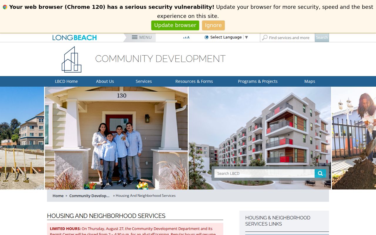
Use the city resource for meetings and community contacts, while the county map remains the parcel source.
Defining Long Beach Neighbor Blocks
“Neighbors” can mean parcels that share a boundary, both sides between two cross streets, one street face, or a wider civic area. Corner parcels, alleys, apartment buildings, irregular tracts, and condominium maps make a simple number range unreliable. Write the rule before clicking parcels.
A same-face block may be useful for a street-history project. Touching parcels may be right for a GIS question. A neighborhood association may use an entirely different service area. The official City neighborhood directory and historic-district pages should be read as community boundaries, not as a list of every home.
- Adjacent parcel
- A mapped parcel sharing a boundary with the subject parcel.
- Across-street parcel
- A parcel facing the subject address but separated by the public street.
- AIN
- The LA County Assessor Identification Number used to open a parcel card.
- Block snapshot
- A dated, defined set of map and record results that can change after transfers or updates.
Mapping Long Beach Neighbors by Parcel
The county map does not have to provide a “neighbors” button. A reproducible block lookup is a series of parcel clicks with a written boundary rule.
- Open the LA County Assessor Map as a guest and search or navigate to the known address or AIN.
- Zoom until parcel outlines are clear, click the subject parcel, and record the AIN and map context.
- Click each parcel sharing a boundary and each parcel directly across the street, following the chosen block rule.
- Open each AIN in the Assessor Portal and compare situs, use, units, year built, dimensions, legal description, and values.
- Toggle parcel, street, recent-sales, and Aerial 2017 or 2020 layers when physical continuity matters.
- Save the retrieval date, map extent, parcel IDs, and what the map does not show.
GIS adjacency identifies land relationships. It does not identify who lives at the parcel. Follow the full street chain only when the question expands beyond the immediate block, using the Long Beach by-address record workflow.
Comparing Long Beach Neighbor Parcels
Assessor parcel cards can make a useful block comparison. Record the AIN, situs, parcel type, use code, units, year built, land and building size, legal description, assessed values, tax status, and map link. These fields describe the parcel and assessment roll. They do not create a household list, identify every adult, or prove that the displayed owner is present.
Long Beach’s Linden Avenue example shows why scale matters. Early large homes can give way to multifamily development, so one parcel owner and several listed or unlisted occupants may not line up. The same caution applies to institutions, business addresses, and the VA or university ZIPs.
| Parcel fact | AIN, situs, use, units, year built, values, legal description. |
|---|---|
| People clue | Recorded party, permit contact, historical listed adult, or authorized file result. |
| Not shown by default | Every household member, utility customer, delivery recipient, or protected person. |
A current neighbor lookup should call the result a parcel comparison unless a separate source supports a person-level statement.
Long Beach Neighbor Permits Show Change
Long Beach Community Development permits can create a block timeline. Search by site address, permit or application number, parcel/APN, record type, and status where the current interface supports those fields. Results may separate record summary, site, people or contacts, fees, and inspections. Older plans may need a Permit Center visit or a records request.
A permit can mark an addition, demolition, conversion, inspection, or construction phase. It dates authorized work, not the arrival of a neighbor. Compare permit dates with assessor year-built fields, historic surveys, Sanborn maps, and directory editions. A rapid change across several parcels may reflect a local development era, while one record may reflect a private alteration.
City records are not the same as county deeds. For ownership and party history, the RR/CC index remains a county counter and mail workflow. For current block geography, the assessor map remains the cleanest first layer.
The Long Beach neighborhood groups directory supplies public contacts for civic connection around an address.
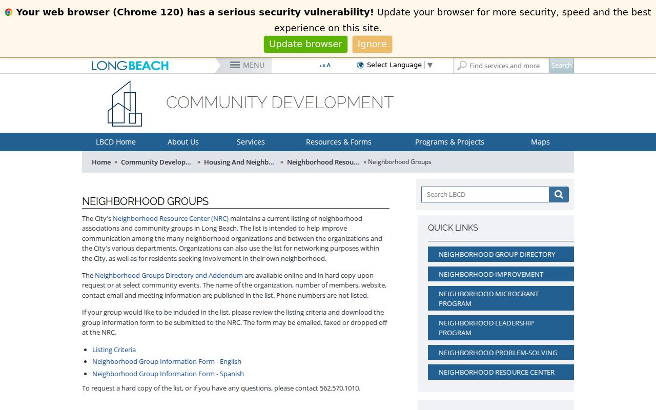
A group page is a route to a public meeting or contact, not a source for naming private neighbors.
Long Beach Neighbor Voter Rules
California My Voter Status verifies one person’s own registration. It is not anonymous name or street browsing. LA County can process named voter searches, history, certified copies, and geographic file orders under Elections Code section 2194. The published route includes a $5 registration name search, a $6.75 history search, and a city file category listed at $54, with purpose and eligibility restrictions still controlling.
Home street address, mailing address, phone, email, precinct and unique registration fields, driver license or ID number, Social Security number, and signature are protected or restricted according to the file and requester. Participation history tells which elections were participated in, never how someone voted. Safe at Home and confidential voter mechanisms can also remove or substitute an address.
A voter file cannot be republished as an open block roster. A missing voter record can mean nonregistration, a status change, a protected record, or a different address. Treat it as one regulated record layer.
Long Beach Neighbor Associations
The City of Long Beach Neighborhood Resource Center maintains a current organization and community-group directory. The July 2026 listing describes group name, reported member count, website, contact email, and meeting information. Phone numbers are omitted. The center can answer questions at 562-570-1010, and its office is at 411 W. Ocean Boulevard, 3rd Floor, Long Beach, during weekday 8 a.m. to 4 p.m. hours listed in the research.
| Group example | Area or civic clue | Public route |
|---|---|---|
| Alamitos Beach Neighborhood Association | Central and coastal neighborhood connection | City Neighborhood Groups Directory |
| North Alamitos Beach Association | Alamitos and Cherry area context | City directory or group contact |
| AOC7 | Anaheim, Orange, Cherry, and 7th corridor identity | District 2 neighborhood page |
| Rose Park Neighborhood Association | Historic neighborhood and civic context | City directory and historic resources |
| Bixby Knolls and California Heights groups | North-central neighborhood connection | City group and preservation resources |
| Wrigley, Bluff Park, Belmont Heights, and Island Village groups | Distinct local community contacts | City directory entries |
Membership lists are private unless a group voluntarily publishes them. Use the city directory to find a meeting, email, website, or public contact. Do not treat the member count as a list of names at an address.
Long Beach Neighbor History Sources
Neighborhood history can explain why a block looks the way it does. Long Beach recognizes 18 historic districts. Belmont Heights includes homes dating to 1905. Rose Park’s Craftsman development largely dates from 1910 through 1922. Grant Neighborhood’s automobile-suburb core dates from 1928 through 1930. These eras guide the choice of directory, Sanborn, permit, newspaper, and census years.
LBPL local-history materials, the Historical Society of Long Beach, CSULB Special Collections, Long Beach Heritage, cultural-heritage surveys, and city preservation resources can supply photographs, maps, oral histories, building histories, and community records. They add context to the parcels without turning a historical association into a current household claim.
The City’s neighborhood directory is especially useful for human connection because it points to public meetings while deliberately omitting phone numbers and private rosters. That boundary is part of what makes it a civic directory rather than a resident list.
Official Long Beach Neighbor Sources
Official records and compiled neighbor tools serve different purposes. The official source names its custodian, field, date, access rule, and correction route. A commercial category may combine assessor, deed, and other feeds, lag transfers, confuse owner with occupant, or omit protected people. A compiled result should not override a parcel card, deed index, court record, or city directory.
| Official layer | Commercial neighbor-tool category | Best interpretation |
|---|---|---|
| Assessor GIS and parcel card | Parcel and property feeds combined into a profile | Use official map and AIN for land facts |
| RR/CC recorded documents | Deed and party data summarized from mixed sources | Use county index and instrument details |
| City association directory | Community contacts presented as neighborhood data | Use public meetings, not private rosters |
| Historical directory or census | Old address and person data repackaged without page context | Keep year, page, and repository citation |
Official does not mean complete. It means the relationship and limit can be checked with the record keeper.
Privacy Limits on Long Beach Neighbors
Household membership, utility accounts, delivery data, private congregation lists, block-watch contact sheets, and protected addresses stay outside the public block map. DMV residence data is restricted. Voter privacy rules protect specified fields. Safe at Home can supply a substitute address for eligible participants. A gap may be an intentional safety feature, not evidence that a person is absent.
Keep a block snapshot dated and narrow. Record the map extent, parcel IDs, source links, retrieval date, and the fact each layer shows. Do not publish inferred personal details or claim that a parcel owner is a current neighbor without compatible evidence. For a full named-street chain, the by-address page is the better route.
Lawful use. Long Beach neighbor lookups are for getting to know a block, public civic connection, family history, and personal safety awareness. Never use a record to watch, stalk, harass, intimidate, or harm anyone.
Note: the most respectful neighbor search ends with a public group contact or parcel fact when that is all the source can support.
Dated Long Beach Neighbor Snapshots
Parcels transfer, permits close, directories update, and voter status changes. A block result is therefore a dated snapshot rather than a permanent directory. Save the source page, map view, AIN, record date, and boundary rule. If the goal changes from the immediate block to a named street, follow the source chain instead of expanding the result silently.
Historical neighbors can be studied through Polk street sections, census enumeration order, Press-Telegram microfilm, Sanborn maps, and cultural surveys. Current civic neighbors can be reached through the City’s association directory. Present private household identity is not supplied by any one official block source.