
Walking a Long Beach Street Directory
A useful by-address search follows an evidence chain rather than a single name. Enter a known site in the Los Angeles County Assessor Portal, capture the AIN and legal description, and then use the Assessor Map to see the parcel in its block setting. Ownership documents, permits, directories, and voter records then answer separate questions about the address.
The result is a street directory workflow, not a claim that every visible name is a current resident. Keep the record date, source, and relationship beside each name. An owner may be associated with a mailing address elsewhere. A permit applicant may be a contractor. A printed directory may omit children or other adults. A registered voter may be protected, inactive, or not registered.
- Search the street address in the Assessor Portal and save the AIN, situs, legal description, parcel status, and map links.
- Open the county GIS viewer, click the subject parcel, and record adjacent AINs and the block definition used.
- Read the city permit or planning trail by site address, permit number, APN, type, status, and date.
- Translate the address into a known party and year before using the RR/CC grantor and grantee index.
- Use authorized voter channels and the library’s reverse sections only for their lawful, stated purpose.
Long Beach Street Records Fields
The Assessor Portal is the main address key for a Long Beach street directory. Its landing form offers a combined “Search by AIN or Address” field, along with Basic Search, Legal Search, Map Search, Assessor Internet, and Search controls. Entering an address can return the situs, parcel type, tax-rate area, use, assessment values, building and land facts, legal description, and parcel-map references. The open portal does not advertise reverse owner-name search.
| Search by AIN or Address | Text or autocomplete-style field accepting an AIN or street address. |
|---|---|
| Basic Search | Main address and AIN mode for a parcel result. |
| Legal Search | Alternate legal-description route; exact subfields are application-rendered. |
| Map Search | Link or button opening the county parcel map viewer. |
| Search | Executes the entered address or AIN. |
In plain terms, a parcel is a mapped unit of land, an AIN is the county’s parcel identifier, and a situs address is the physical location. The legal description can preserve continuity when street names or numbers change.
Open the official LA County search before treating a street name as a record key. The fields and portal version can change, so retain the effective date shown on the result.
The LA County Assessor property search is the address-to-parcel starting point for Long Beach records.
The parcel card can show use type, building traits, value panels, map links, and legal text. It does not list every household member or certify that a named owner lives at the situs.
Long Beach Street Parcels on GIS
The Los Angeles County Assessor Map is a free guest viewer for geographic work. Search or pan to a known address, zoom until parcel lines are clear, click the subject polygon, and follow the AIN to the assessor detail. Then repeat the click for adjoining parcels and parcels across the street. The map is a browse tool, not a button that returns a complete list of neighbors.
Its documented layers include parcels, recent-sales parcels, street map, and Aerial 2017 and 2020 services. The viewer also exposes parcel-map and map-index links from the detail route. A plat is a recorded map that shows lot and tract relationships. It can explain why a corner parcel, condominium project, or split lot does not fit a simple house-number range.
| Map control | What it does | Street use |
|---|---|---|
| Map canvas | Pan and zoom through parcel geography | Set the block or street extent |
| Parcel selection | Opens a parcel or AIN path | Move from one address to the next |
| Layers | Parcels, recent sales, aerials, street map | Compare physical and mapped context |
| Parcel Map / Map Index | Links to official map references | Check lot, tract, and split patterns |
Use the county parcel viewer to see the polygons that make a Long Beach street a sequence of land records.
Record which parcels were included and why. A block can mean one street face, both faces between intersections, every touching parcel, or a custom civic area. Stating the rule keeps a street directory result from sounding broader than the map work actually done.
Long Beach Street Address Facts
Situs and mailing address are not the same fact. Situs names the physical parcel. Mailing identifies where tax correspondence is sent and may be a different city, a PO box, a trust, or an agent. The public web card may suppress owner names and mailing details. A match can support an ownership clue. A mismatch can reflect a remote owner or chosen contact route. Neither result proves who occupies the property.
- Parcel
- A mapped land unit with an AIN, situs, legal description, and assessment history.
- Situs address
- The physical location used by parcel and permit systems.
- Mailing address
- The destination for tax or record correspondence, which may differ from the situs.
- Plat
- A recorded map showing tract, lot, block, or parcel relationships.
- Criss-cross directory
- A reverse directory arranged by street and house number, where a volume provides that section.
Long Beach’s multifamily corridors and institutional areas make the distinction important. One parcel can contain several units, while one institutional ZIP or a business address can sit inside a larger street geography. Use the parcel as the land key, not as a promise of a whole household list.
Long Beach Records Along a Street
These record sets can be chained by address, AIN, legal description, name, or date. They do not all describe residents. The table keeps the relationship clear.
| Record set | Keeper | What it shows | Access |
|---|---|---|---|
| Assessor parcel card | LA County Assessor | Situs, AIN, use, values, building facts, legal description | Free address/AIN portal |
| Assessor GIS | LA County Assessor | Parcel boundaries, aerials, street and recent-sales context | Free guest viewer |
| Recorded documents | LA County RR/CC | Grantors, grantees, liens, releases, recording identity | Counter or mail; no web index |
| Building and planning records | Long Beach Community Development | Site, work type, case, applicant, status, inspections | Portal, Permit Center, or request |
| Directories and newspapers | LBPL and repositories | Listed adults, addresses, notices, past households | Digital, microfilm, appointment |
Use the AIN and legal description to tie parcel and deed work together. Use the site address and permit number for city records. Use a directory year and printed page for historical occupancy clues. The street name alone is too weak for older work.
Long Beach Street Deed Records
The RR/CC real-estate index is alphabetical by grantor, grantee, and year. A grantor transfers an interest. A grantee receives it. The county states that it cannot search its recorder records by address and does not accept telephone index-search requests. That makes the address-to-AIN-to-party bridge the key move in a Long Beach street directory.
At Norwalk Headquarters, 12400 Imperial Highway, records from 1851 through 1957 are reviewed on the lower level and records from 1958 to the present on the second floor. Viewing is free. Copy and certification fees follow the current schedule. Appointments may be booked up to three weeks ahead. Mail requests go to RR/CC Real Estate Records, P.O. Box 1130, Norwalk, California 90651-1130, with a stated processing period of 20 working days.
For each parcel, record the grantor, grantee, recording year, document title, document number or book and page, APN, and legal description. A deed of trust, reconveyance, lien, notice of default, or trustee-sale notice is not the same as a completed transfer. Read the later instrument before describing an ownership change.
The LA County real-estate records page explains why street research often ends at a counter or mail request.
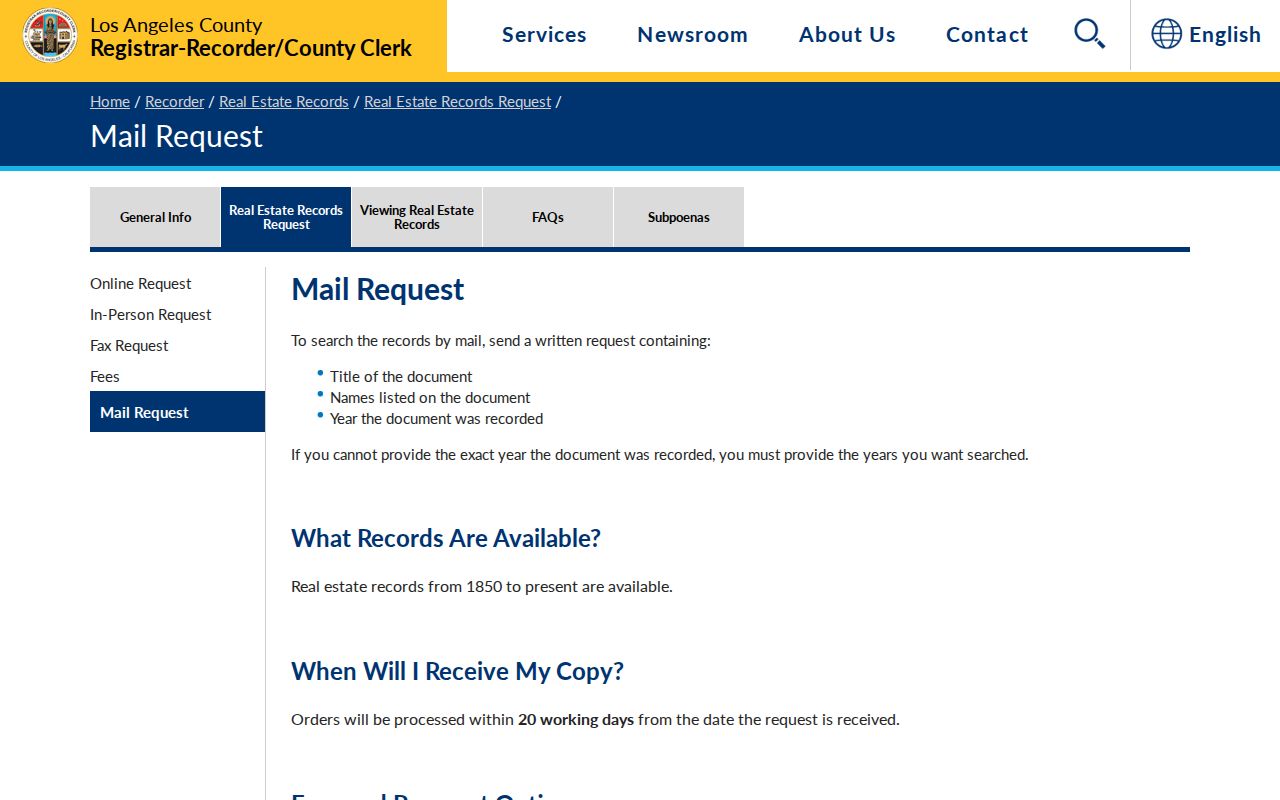
A known document can be ordered online through the county’s fulfillment route, but the request needs enough document facts. It is not a substitute for discovering an unknown deed in the index.
Long Beach Street Permit Records
The Long Beach Permit Center adds a city-level timeline. A search can use site address, permit or application number, or parcel/APN. Record type and status filters may narrow building, planning, issued, final, expired, or related records when the current application offers them. A result may separate address, people or contacts, fees, inspections, and record summary.
Permits demonstrate authorized work, not everyone who occupied the site. An applicant, contractor, owner, or representative may appear for a construction event. Older plans can have copyright or professional-consent limits. If the online record is incomplete, use a Permit Center appointment or a California Public Records Act request for an identifiable existing record.
| Site Address | Street number and name; unit formatting can affect a match. |
|---|---|
| Permit/Application Number | Exact key when printed on a notice or inspection card. |
| Parcel/APN | County parcel key tying city history to assessment and map work. |
| Record Type | Building, planning, and related record families where supported. |
| Status | Narrows active, issued, final, or expired records where offered. |
The Long Beach Permit Center supplies the city-side address trail for work and inspection history.
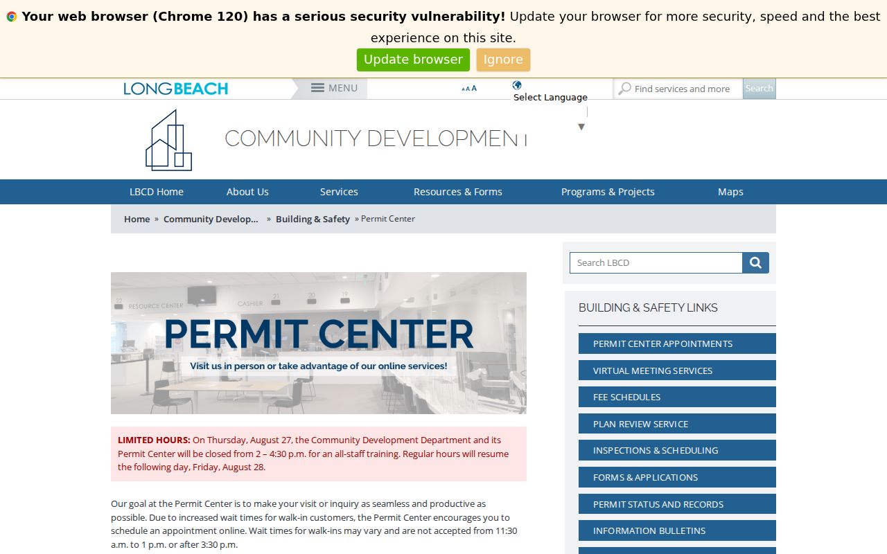
The permit trail is strongest when compared with an assessor year-built field, a Sanborn sheet, and a directory appearance. Those dates may disagree because they answer different questions.
Renamed Long Beach Streets Need Both Names
Historical address work can fail when a modern street name is used alone. City sources document that California Avenue became Martin Luther King Jr. Avenue in 1986 on the stretch from East 7th to East 21st. Long Beach Boulevard was formerly American Avenue through at least 1949. Search both names, then compare the map, legal description, directory year, and historic context source.
Signal Hill is a separately incorporated city enclosed by Long Beach. Nearby postal and visual continuity can therefore hide a municipal boundary. Long Beach permits and council records do not replace Signal Hill records. The county assessor, recorder, and court systems remain countywide, but the city layer depends on the parcel’s actual jurisdiction.
Note: an AIN, tract and lot, or legal description is usually a stronger bridge across a street rename than a copied postal string.
Long Beach Reverse Directories by Address
Long Beach Public Library city directories give the historical street layer that modern portals lack. A reverse or criss-cross section, when present in a volume, is read in house-number order. Record the year, street name, printed number, listed adult or householder, and page image. Then use the alphabetical section to find a spouse notation, occupation, address variant, or widow mark.
The digitized Polk collection covers most years from 1899 through 1969, while physical and microfilm holdings are described as most Polk and city directories. OCR is helpful but not final evidence. Browse page images around a likely name, check the volume’s abbreviation key, and treat a missing listing as an omission or timing clue rather than proof that nobody lived there.
The historical shelf is the home of past household research. When the question shifts from a whole street to one person, use the site’s Long Beach resident lookup workflow. When the question is the full collection and how to read each entry, use the city-directory collection page.
Long Beach Street Voter Records
California My Voter Status is for a person checking their own registration. It is not a public voter-by-street search. The LA County voter information request process can provide formal name searches, history, or certified copies when the requester and purpose fit Elections Code section 2194. Published fees include $5 per registration name search and $6.75 per history search.
Protected home addresses, phone numbers, email, signatures, driver license or ID numbers, Social Security numbers, and unique registration fields are not ordinary public output. The full file is not an unrestricted Long Beach street directory. A registration status can change, and a person can be absent because they are not registered, have moved, or use a confidentiality program.
Use the county form, in-person route, or mail route for the stated request. Do not publish an authorized result as a neighborhood roster. The secret ballot also means participation history never reveals a person’s choices.
What a Long Beach Street Directory Misses
No official Long Beach street directory lists every adult, child, lodger, or household member at an address. DMV residence data is restricted by the federal Driver’s Privacy Protection Act and California law. Utility accounts, delivery records, private association lists, and protected addresses are not public street rosters. Assessor data describes parcels. Deeds describe recorded parties. Permits describe work. Directories describe listed entries.
Keep names tied to the source relationship. “Owner,” “applicant,” “registered voter,” “business agent,” and “listed adult” each mean something different. If a record is wrong, contact the originating custodian with the record number, date, and exact field. A compiled result should never override a correction from the assessor, RR/CC, court, election office, or license board.
Lawful use. Long Beach address records support personal research, family history, civic curiosity, and safe reconnection. Using records to stalk, harass, intimidate, or publish personal details for harm is not lawful.